
Full Route Retrospective & Maps
April 18, 2025
I have this great file from our trip with all of the waypoints that our instruments logged and posted. I can pull it up in an app version of Google Earth (Google Earth Pro) and click anywhere on our route to see the date, time, position, our boat speed, the wind speed, and many more data points.
Way back in September, I made this video where I screen recorded a walkthrough of the whole trip, using the clicks to highlight things like how we were seeking the wind during the crossing and how fast we were flying around Puerto Rico and the Dominican Republic. It was like a 20-minute video.
When I went to edit, I found that I had no audio, so it's just a silent piece of garbage with the mouse pointer clicking randomly around the globe.
As I type, it's April and I'm hopeful that we voyage again in a couple of months, so I just wanted to get this out there to put a bow on the whole 2024 trip.
I can't imagine why you would want to, but you can download the waypoints file yourself, if you want to explore it in Google Earth Pro, or in something similar.
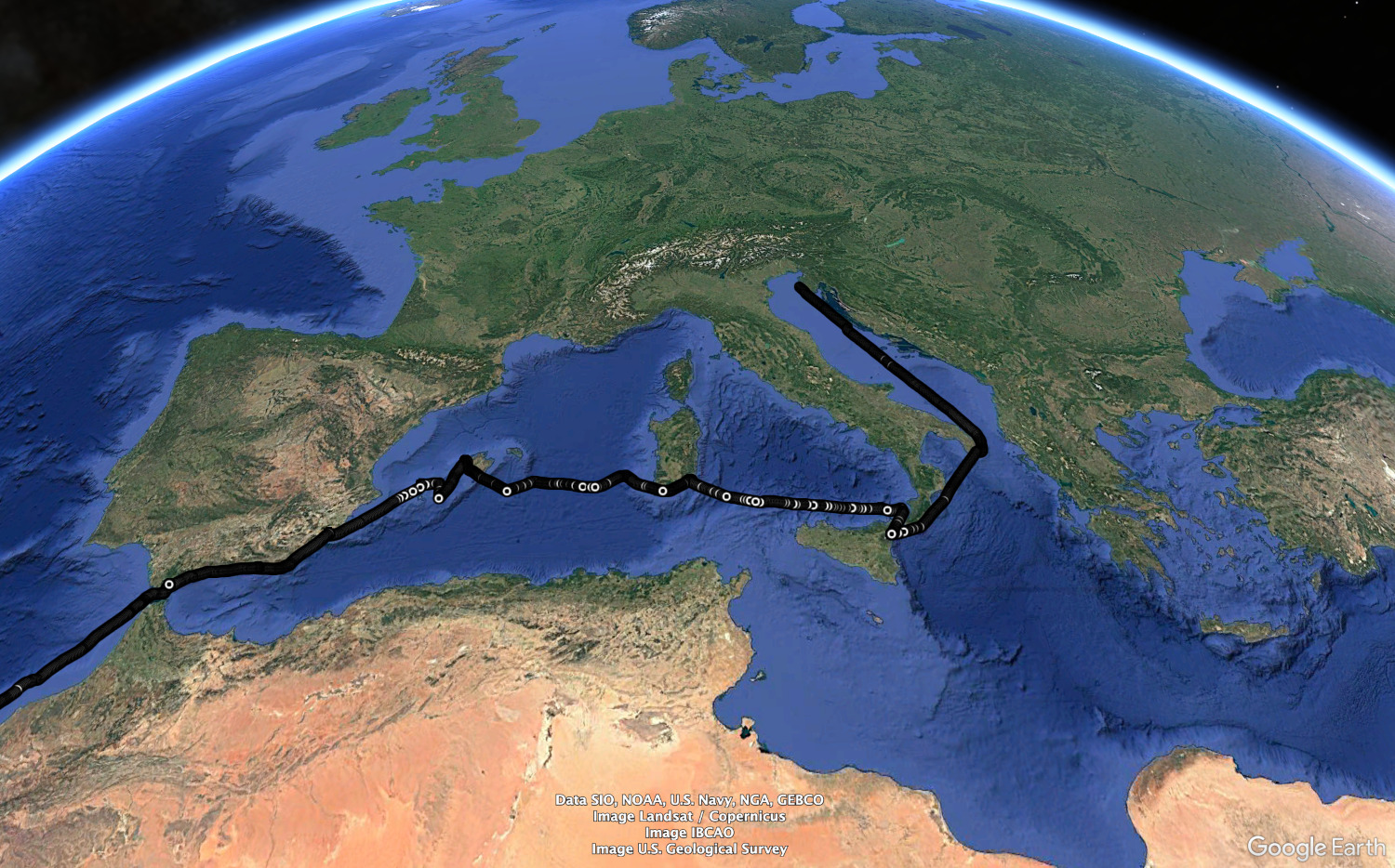
Actual Route across Europe
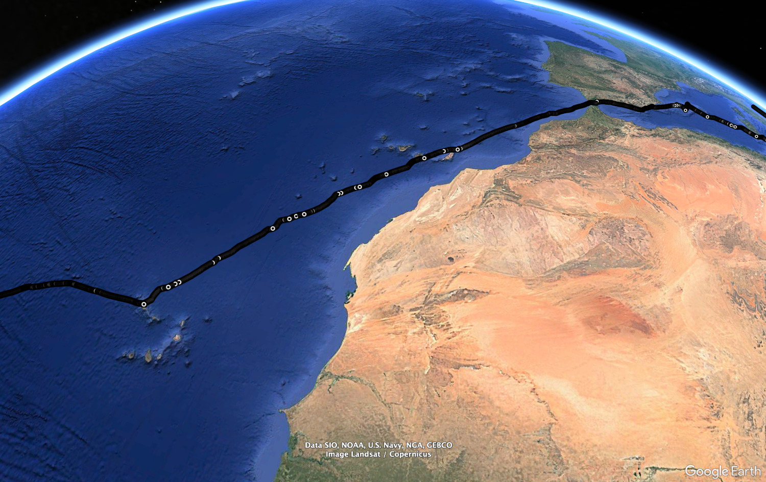
Actual Route, East Atlantic
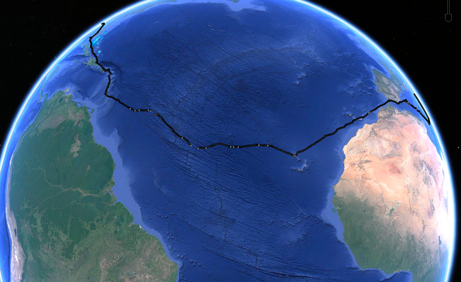
Actual Route, Atlantic Crossing. We ended up going well south of the rhumb line looking for wind.
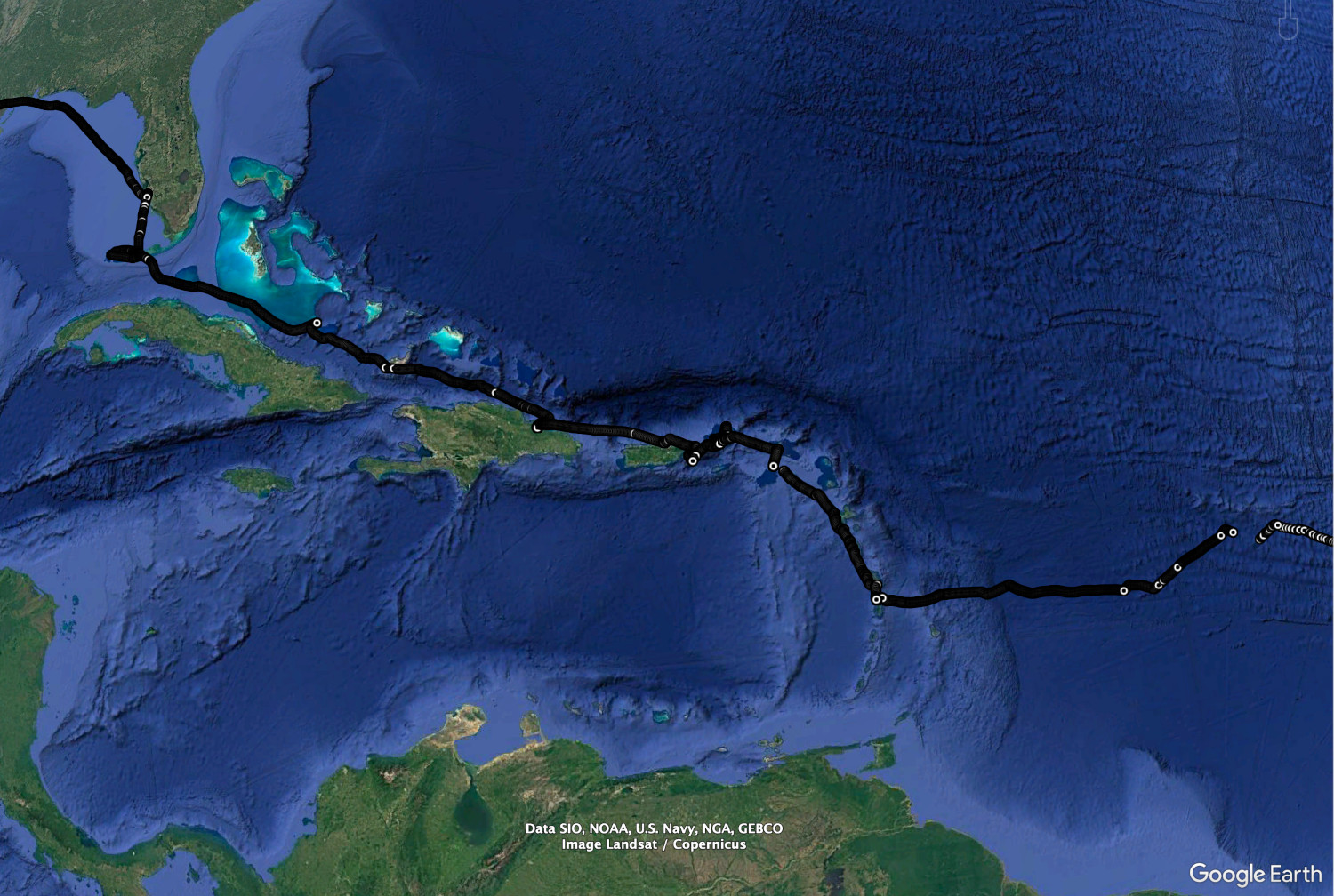
Actual Route, Carribean
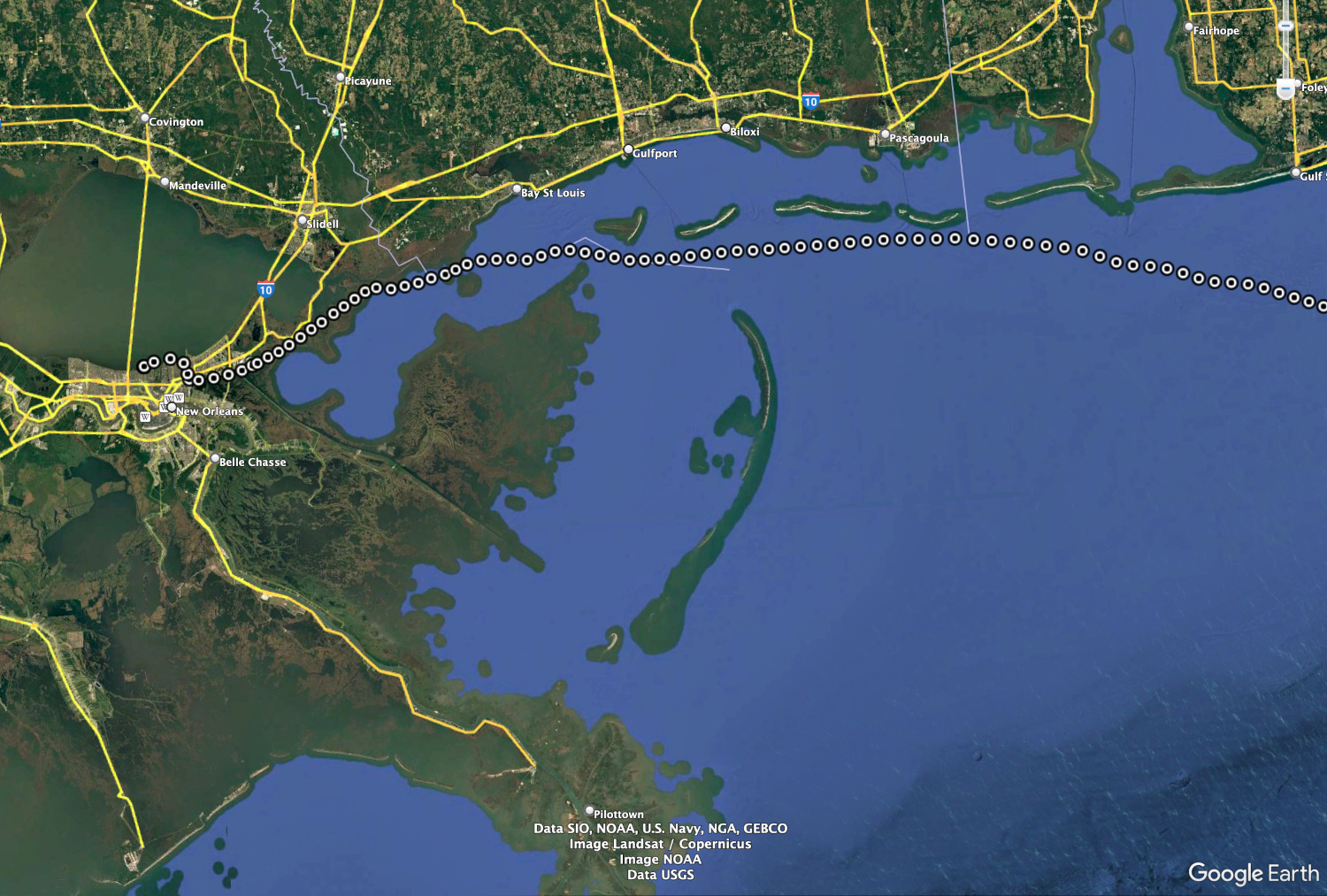
Actual Route across the Gulf Coast and into New Orleans